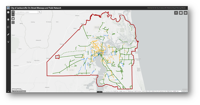
The Transportation Planning Division of the Planning and Development Department has launched the On-Street Bikeways and Shared-Use Paths (Trails) Network Tool, an interactive webmap allowing the public to identify the most direct and comfortable facilities to travel by bicycle (or by foot along shared-use paths or “trails”) to reach schools, employment centers, retail areas, and other essential destinations throughout Jacksonville.
The City’s first comprehensive inventory of existing, planned, and funded bicycle infrastructure will provide information to help state, City, and private sector engineers and developers integrate critical network connections into their roadway designs. The interactive webmap further provides planners with a holistic perspective of the bicycle network, supporting the planning, prioritization, and selection of projects that will provide the most connectivity, safety, and level of comfort, for users of all ages and abilities.
The City prioritizes transportation system safety, in an effort to eliminate fatalities throughout the operation of a complete multimodal transportation network, which this new public resource will help to achieve.
Residents and visitors can visit coj.net/pedbike to view the interactive webmap and download related information. For all bicycle and pedestrian issues, please contact Matt Fall at mfall@coj.net.
 Original source can be found here.
 Alerts Sign-up